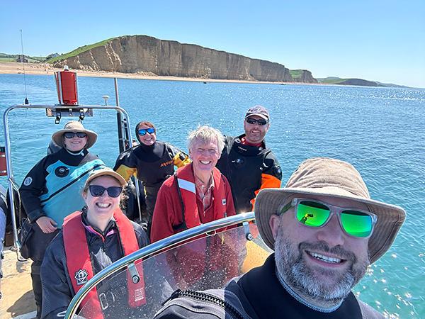
Join other BSAC members and take part in the Great Seagrass Survey.
![]()
Seagrass is an amazing underwater habitat which not only produces oxygen that we breathe but protects coastlines, absorbs carbon and provides a home to many ocean species. Despite being so amazing, seagrass is under threat from the many pressures affecting the ocean. It is time for scientists and policy makers to take action to help protect it. Unfortunately not much is known about seagrass, in fact we don’t even know where most of the seagrass in the UK is! This is where you come in. BSAC and our partners Seawilding are encouraging as many people as possible to get on, in and by the sea for the Great Seagrass Survey.
What we want you to do
Help us discover where the hidden seagrass is. We want you to visit the shore, tell us if you locate some seagrass and if you do, to take some measurements and map the bed. This information is vitally important for scientists and restoration practitioners who are working hard to protect and restore seagrass around the UK and abroad.
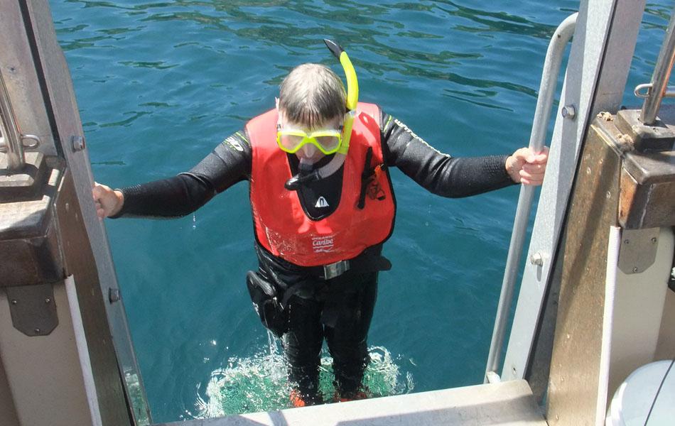
As a flowering plant seagrass lives in shallow water, usually from 0-7m. One species even lives quite high up on the shore in the intertidal zone. This means that you can join in with the Great Seagrass Survey no matter whether you fancy scuba diving, snorkelling or simply strolling on the beach.

Get started
Step-by-step instructions:
Whenever you visit the coast we would like you, your dive buddies and your clubs to help us locate and map the hidden seagrass beds.
-
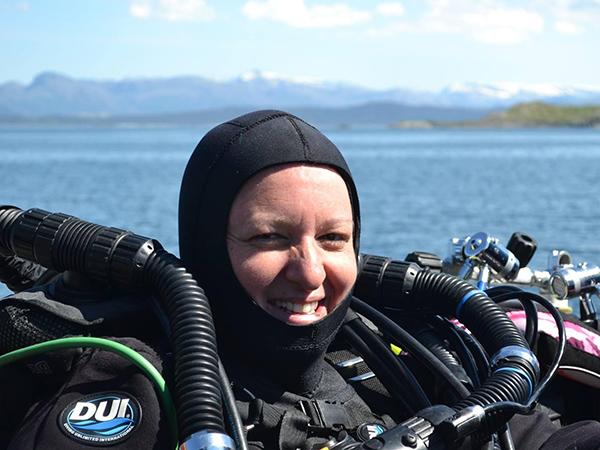
First of all you should decide if you want to undertake your survey scuba diving, snorkelling or while strolling on the shore. You don’t have to limit yourself to just one. You may want to complete a dive survey of some underwater seagrass and then do a survey on the beach following your dive. Alternatively if you are arranging a club outing, some members could conduct a dive survey in the deeper waters, some snorkel in the shallows and some survey the beach.
-
Next you want to decide where to do your survey. The project map provides a guide to some locations that you may want to survey. The sites in the map are divided into a number of categories:
- Locations where seagrass has previously been recorded but require mapping. There are both subtidal and beach survey sites requiring mapping shown.
- Locations where seagrass is suspected to be but no one has recorded it yet. Again there are both subtidal and beach survey sites in this category.
You are free to choose your own site too, maybe somewhere where you know there is some seagrass or a place that you fancy checking out. Remember that above all, the site you choose should be safe to access and dive in the conditions on the day. Be prepared to abandon a survey at your chosen site if the conditions are not right.
-
Check out the materials on how to conduct your survey. These will take you through how to identify seagrass, how to map a seagrass bed once you locate it as well as how to gather information about the seagrass.
-
Once you know what the surveying will involve and where you would like to do it, it is time to get together with your club or dive buddies and plan your dive and survey. Make sure that you read and follow all of the safety tips first. Remember, you will be responsible for your own safety, so make sure you plan your dive as carefully as you would any other dive and don’t go out in any locations or conditions that you wouldn’t feel comfortable with on a normal dive. It is a good idea to practice with the survey equipment beforehand and make sure you know how the tasks will be divided within your group when you are surveying. You should also plan how to access your survey site. It is up to you and your group to park and access the site, legally, safely and responsibly. You also want to consider the state of tide in your planning, both from a safety point of view and in the accessibility of the seagrass. If you are planning to survey intertidal seagrass from the beach, then you want to plan around surveying at low water, aiming to arrive at the site at least one hour before low water. If you are planning to snorkel, you want to ensure that the height of tide means that your target seagrass bed will be underwater but not too deep. As seagrass is often quite shallow, if you intend to scuba dive, you want to ensure that the bed you are aiming for will be covered to an adequate depth for diving when you do your survey.
-
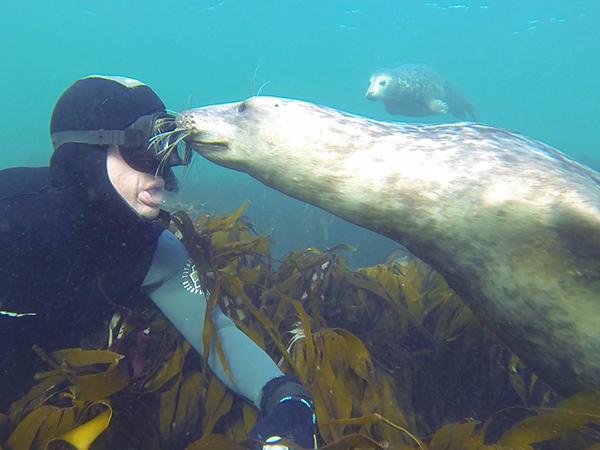
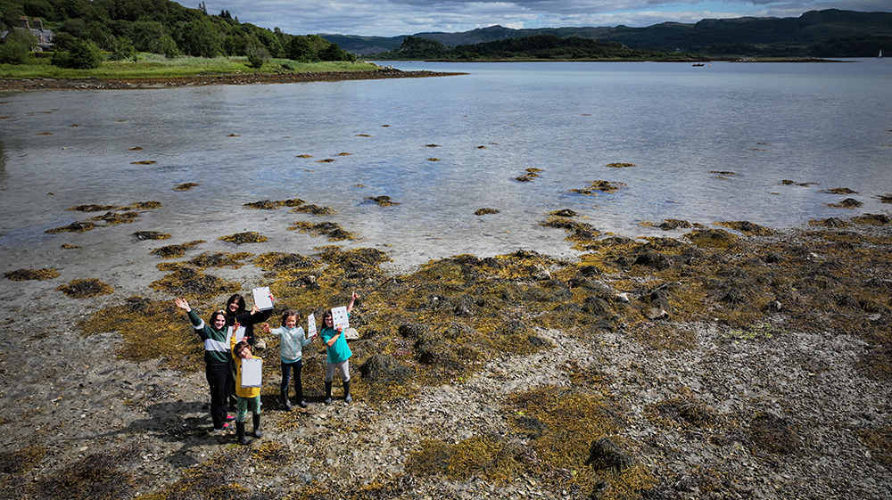
Get out on the water and survey. Don’t forget to share pictures of your survey and your seagrass. We will be sharing pictures from the weekend on the BSAC and Seawilding social media platforms.
-
We recommend uploading your results as soon as you can following your survey. It quickly becomes much harder to remember what you did or where you saved a file. Full instructions on how to upload your data are given in the survey instructions.
-
Keep an eye on your inbox for updates on the results from the Great Seagrass Survey. When we validate the data collected it is possible that we may need to contact you to confirm details of your survey, for example if you have made a particularly exciting discovery. We believe it is important to share the results of the Great Seagrass Survey with all those who took part in collecting the data. Once all of the data has been analysed, we will send you a summary of what was learnt from the Great Seagrass Survey.
Next steps
If you decide you love seagrass as much as we do and are interested in learning more about surveying for ocean conservation, BSAC and Seawilding have created the Shore Surveyor eLearning course and Underwater Surveyor course to help you do just that.
Encourage all of your friends to get involved!