Survey equipment
To conduct a seagrass mapping survey you will need the following survey equipment:
-
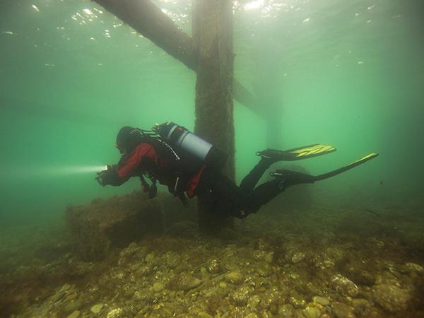
GPS device - You will need to record your GPS location as you swim around the perimeter of the survey site. If you are snorkelling at the surface, you can use a GPS enabled waterproof watch attached to the back of your mask strap. If you are deeper or are using a different GPS device you can tow it at the surface inside a dry bag or SMB
-
SMB - see above
-
Camera - to provide proof of the habitat that you are recording
-
Writing slate and pencil - to make any notes about what you see.
-
Ruler or tape measure - to measure blade length.
-
Watch / dive computer - If you are snorkelling a standard waterproof watch, rated to the depth you will be diving is adequate for recording the time of day and duration of your survey. If you are scuba diving, you should be able to find this information, along with depth of dive on your dive computer.
Mapping survey illustration Heath survey illustration
Top tip: When you are identifying seagrass that is growing, avoid picking it.
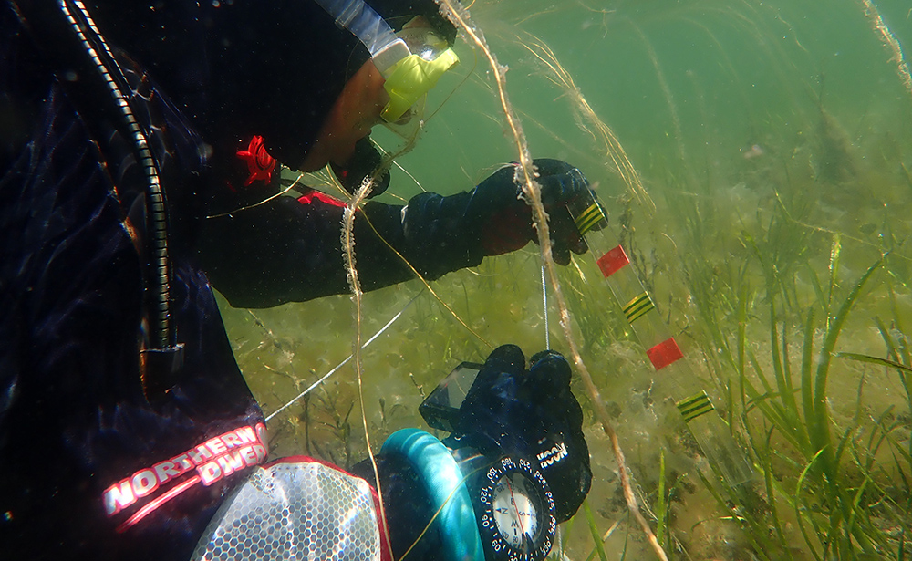
Take photos of seagrass that you find. Close up pictures of the blade as well as wider pictures of the habitat are helpful. If you can, include something like your hand in the picture for scale.
To measure the length and width of the seagrass blades, use a ruler or tape measure. Try to choose a blade that is representative of the bed, rather than the tallest or shortest blade.
Mapping the seagrass bed requires accurate work with a GPS. As GPS signals can’t penetrate underwater, your device will need to be able to follow you on the surface of the water. For this reason habitat mappings are more easily undertaken by snorkel or in relatively shallow water.
It is a good idea to familiarise yourself with the operation of your GPS on the surface. You can even trial the technique by walking around an area on the beach before your dive.
Before your dive you will want to decide on and test a method for your GPS device to follow you on the surface.
We have found that when snorkeling it works well to attach a GPS watch to the back of one person’s mask strap. This person will snorkel on the surface, guided by their buddy who can dive deeper if needed.
Alternatively you may need to use a tow float or SMB with your GPS inside. You will need to make sure that your GPS is adequately waterproofed and that the length of the tether is sufficient to reach the surface.
You will need a way of downloading your GPS track following your survey. Apps designed for tracking outdoor activities such as STRAVA work well for this and allow you to download your track as a gpx file.
If you are conducting a survey on the beach, you can simply walk around the edge of the seagrass bed while wearing or holding your GPS device.
Sometimes it is easy to tell where the edge of the seagrass bed is as there will be a distinct line between lush seagrass and bare sediment. Sometimes it is more difficult as the seagrass is patchy around the edges and peters out. In this case as a rule of thumb, if there is more than one shoot per square metre, then the area can be counted as seagrass bed.
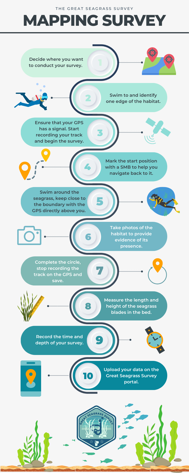
Survey steps
-
Decide where you want to conduct your mapping survey. It is useful to have confirmed the presence of the habitat prior to mapping it.
-
Swim to and identify one edge of the habitat.
-
Ensure that your device has a GPS signal, start recording your track and begin the survey.
-
You can mark the start position of the survey with a weighted float/ SMB in order to help you navigate back to it.
-
The buddy with the GPS should swim as closely as possible on the boundary of the habitat. Sometimes this can be hard to identify, in this case the other buddy can check around the area and act as a guide.
-
Keep the GPS as close to directly above you as you can.
-
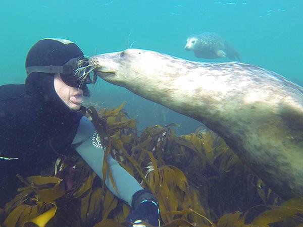
Take photos of the habitat to provide evidence of its presence.
-
Follow the edge of the habitat until you return to your start point. This is easier to identify if you have marked it with a weighted float/SMB.
-
Stop recording the track on the GPS and save.
-
Measure the length and height of the seagrass blades.
-
Record the time and depth of your survey.
-
Upload your data using the seagrass survey form.
General survey safety tips
- Ensure that you park safely and legally and are not blocking any emergency access points.
- Access the shore by a public right of way if possible or ensure that you have the landowner’s permission to access.
- Don’t drop litter or damage property, leave the site as you found it.
- Seagrass is happy growing where it is, please don’t pick or pull any seagrass up.
- Your safety is more important than your survey - if in doubt, don’t go out. You can always do your survey another day.
- In an emergency at the coast or at sea dial 999 and ask for “Coastguard”. They will coordinate the necessary rescue assets (e.g. coastguard mud rescue or cliff rescue teams, lifeboat, helicopter, ambulance)
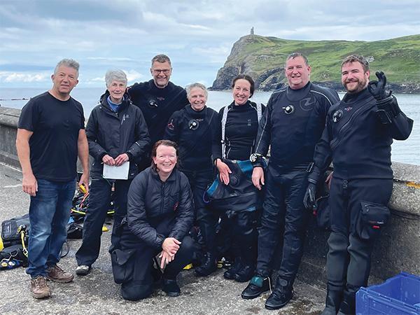
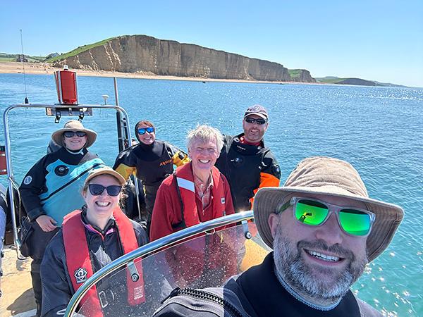
Dive and snorkel safety tips
The map of potential seagrass survey sites shows positions of known and suspected seagrass. It is not a map of approved or safe dive sites. A seagrass site being marked on the map is no guarantee that it is safe to dive.
It is up to you to choose a safe site to dive and to be prepared to abandon the dive or change locations if the conditions are not right. Nor does it indicate public parking or access. It is up to you and your group to park and access the site, legally, safely and responsibly.
- Follow the Divers Code of Conduct.
You should be properly trained and equipped to conduct snorkel or scuba dives.
- Ideally conduct your dives as part of a properly managed group who can provide surface cover whilst you are diving and be able to respond appropriately in an emergency.
- Leave word ashore with a responsible person who can contact the emergency services if you are overdue.
- Ensure that you dive within the limits of your abilities and qualifications.
- Be aware of task fixation. Data gathering is not of prime importance. Your safe return to the surface is.
- Follow the UK sport diving governing body’s guidance for safe diving.
Shore survey specific tips
-
Make sure you check the tide times before you start your survey. Aim to start your survey around one hour before low tide.
-
Keep an eye on the sea while you are surveying. The tide can come in more quickly than you realise.
-
Do not conduct your survey where there is any chance that you may get cut off by the tide.
-
Walk only on firm sand. Do not walk out on mud flats or areas of sand which your feet sink into. If in doubt - don’t go out.
-
Don’t conduct a survey or cross any area that you wouldn’t feel happy being on for a normal visit to the beach.
-
Take care on rocks which could be loose, steep or slippery.
-
If you aren’t dressed and equipped for snorkelling or diving, don’t enter the water.
-
Know exactly where you are so that a) you are able to record your survey position accurately but more importantly b) you can tell the Coastguard exactly where you are in case of emergency. The what3words app is a one way you can provide an accurate location.