Becky Hitchin takes a deep dive into the geology of the United Kingdom and the world that awaits below the water line: Scotland.
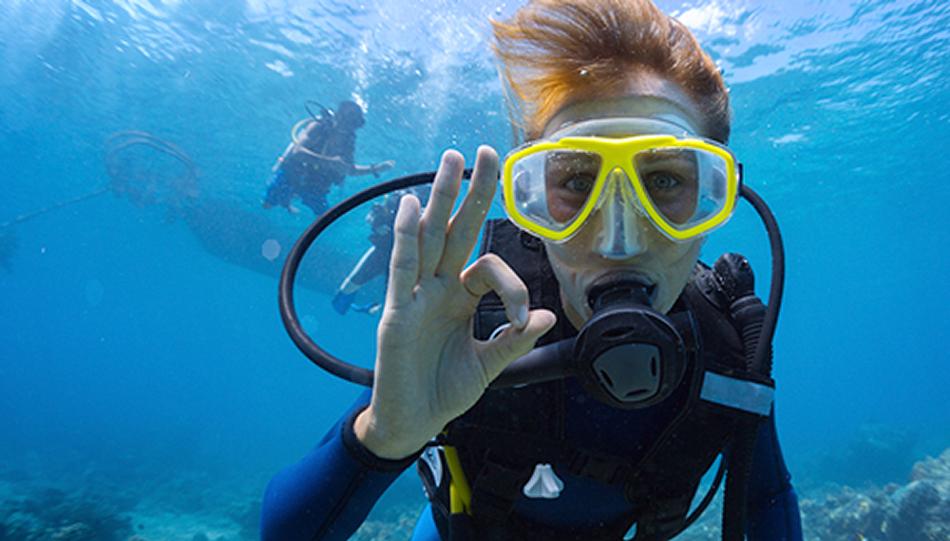
There are many reasons I love shore diving. One of them is that often you can look at the land around the dive site and know what you’re expecting to discover underwater. When rocks plunge from the shore into the sea, you know that they are likely to continue as underwater walls, at least for a little while.
When you walk in from a sandy beach, again you’re generally expecting that habitat to dominate the dive. And why is that? It’s because the bottoms of our shallow seas are the result of millions and millions of years of tangled and twisted geology and sedimentology. And I’m going to take you on a tour round the UK and see what we can discover about how geology influences our diving.
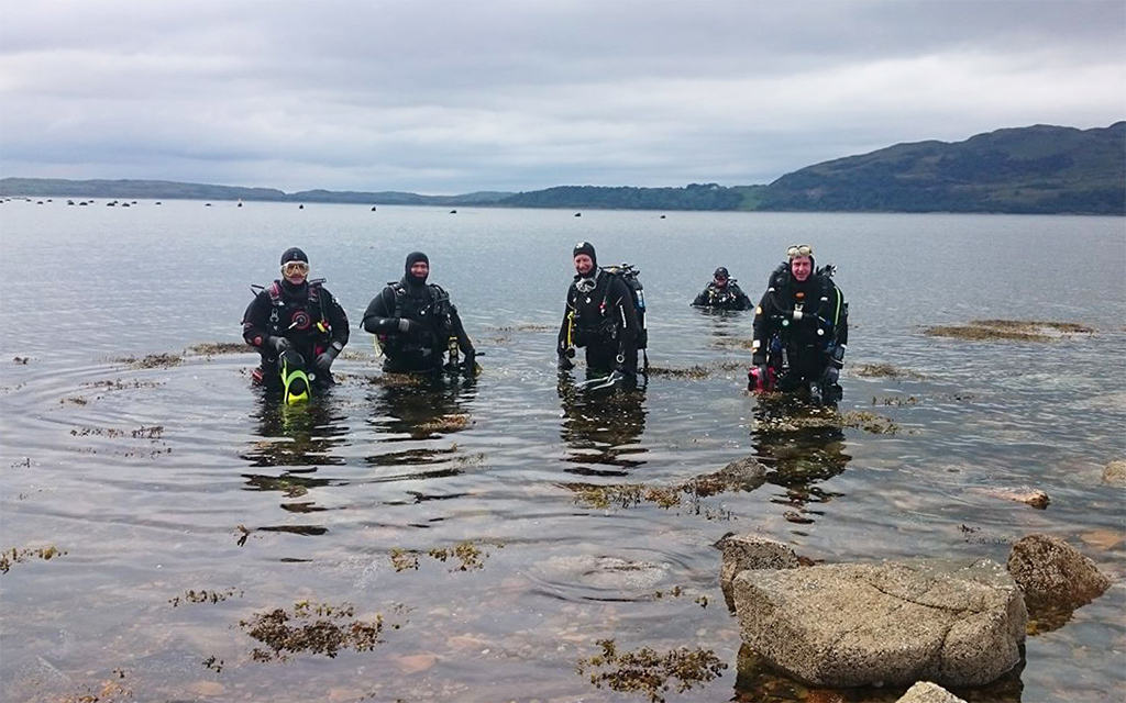
I’m going to start with West Scotland. Yes, I’m biased. But it’s also a destination loved by many UK divers. West Scotland is made from ancient rock, most recently shaped by constant movements of ice in the glacial periods of the Quaternary – erosion, deposition, erosion, deposition repeated for thousands of years. This left a complicated seafloor pattern of some basins that were deeply eroded and some that became filled with deep layers of sediment.
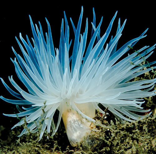
The Scottish sealochs, basins often reaching hundreds of metres in depth and separated from the open sea by shallow sills and tidal narrows, are part of the result of these glacial processes. They are home to deep muddy habitats that contain species that would usually be found in much deeper water, such as tall seapens, firework anemones and spotted dragonets.
As you all know, Scottish water is always cold compared to water ‘down south’, with the temperature varying only slightly through the year, from about 9°C to 13°C at the peak of summer. So… why is it so cold? There are several reasons. In winter and spring – well, and often in summer and autumn too - there’s snow on the hills, and freshwater runoff tumbles down gin-clear rivers to the shore, causing a dark, clear, layer of freezing cold, peaty freshwater to settle on top of the denser seawater already present.
The glacial landscape... in Scottish seas gives rise to complex, twisted topographies
Safety stops become somewhat nightmarish when you ascend into this layer and have to wait in 3ºC water after a long dive. But it’s also cold from the seaward side of things too. Water masses tend to warm up near to the shore if there are shallow areas for the sun to heat, but there’s very little shallow water to warm up around Scotland. Scotland’s waters are strongly influenced by Atlantic Ocean water masses, mixing into deep shoreward waters. These huge Atlantic water masses help provide the incredible visibility you see when diving at St Kilda, the northern Scotland islands and even Kinlochbervie.
 The glacial landscape continues in Scottish seas, giving rise to complex, twisted topographies, often plummeting into the depths, and longshore currents lead to many of those rock surfaces being clean of sediment but full of life. Even from the shore, the underwater landscape can contain dramatic walls and slopes, such as the Kentallen Wall that plunges without warning from a 10-15m sandy slope to a vertical wall leading to 40m plus. Further out, think of places like Bo Fascadale, Maxwell Bank, Handa Island. It’s an incredible experience stopping in blue water, no land for miles, and rolling back into the water to look for the top of a pinnacle 6m or so below you.
This landscape continues, getting wilder, as you round the top of Scotland, eventually with water, wind and waves funnelling themselves into the Pentland Firth between Orkney and the mainland. The Pentland Firth wasn’t swum across until 2011, and with tidal flows reaching 12 knots, it’s maybe not surprising.
Beyond the Pentland Firth, the land bends round on itself to form the north east coast of Scotland, passing the famous John O’Groats and forming a sweep of cliffs down to Inverness and the next obtuse angle heading into the Moray Firth and the North Sea. This is a very different matter to the oceanic swells caressing into the west coast. Only the very top of the North Sea has any immediate Atlantic inflow, instead being dominated by recirculating nearshore currents around the North Sea basin, from Scotland to England, across to continental Europe and back up towards Scandinavia.
The sea shallows as you head down Scotland, waves breaking along high cliffs where gannets and fulmars roost and cry. By the time we reach St Abbs and Eyemouth, the best-known dive sites in the east of Scotland, even the rocks have softened. One of the main reasons that we have such good dive sites there is that St Abbs Head is volcanic, leaving steep sided gullies and sea stacks above and below water as it erodes, compared to the softer sedimentary rocks on each side of it. The water continues moving south, enough to sweep away sediment and provide constant food for the abundant life seen underwater. St Abbs and Eyemouth are also placed a good distance away from major river mouths, particularly the Tay, the Forth and the Tees, which makes the amount of sediment found there small compared to dive sites further north and south. There’s also Arctic influence, with species more commonly seen in northern waters being found in abundance at St Abbs – especially wolf fish.
As we head into England, I’m leaving you there until next month. And yes, sorry to my friends and colleagues in Orkney and Shetland, you have been unloved and ignored in this column. Don’t worry, your time will come…
Article 'As above, so below' by Becky Hitchin first published in SCUBA magazine, Issue 132 Jan/Feb 2023.